


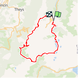


12,2 km | 28 km-effort

Benutzer


Kostenlosegpshiking-Anwendung
 SityTrail
IGN / Geografische Institute
SityTrail World
Die Welt öffnet sich für Sie
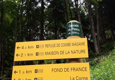
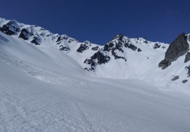
Tour Wandern von 34 km verfügbar auf Auvergne-Rhone-Alpen, Isère, Le Haut-Bréda. Diese Tour wird von freddy73800 vorgeschlagen.
Rando du 13-14 Aout 2011
Tery et Moi
1er jour: 12.3km et 1600D /400D-
2eme jour: 22 km et 700D /1900D-


Wandern
Wandern
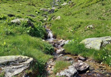
Wandern
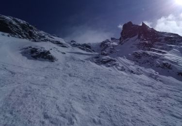
Skiwanderen

Wandern
Wandern
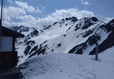
Skiwanderen
Skiwanderen

Andere Aktivitäten